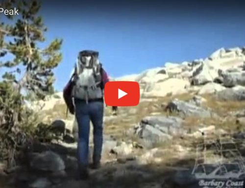
For short video of Berry Creek Falls, click on http://www.youtube.com/watch?v=wmAbr_u32ss
Berry Creek Falls is the No. 1 hiking destination of any park in the greater Bay Area’s nine counties. It’s one of my favorite spots in the world. I try to hike it every year in the spring for a personal birthday present. Ryan Commons at Walkifornia.com provided this video for me to post and share with the public.
Berry Creek Falls and its canyon is the crown jewel of Big Basin Redwoods State Park, located near Boulder Creek deep in the Santa Cruz Mountains.
Berry Creek Falls is 4.7 miles from the trailhead at Big Basin’s headquarters, and for most, takes less than two hours to reach. The complete loop, which includes venturing up the canyon to see Silver Falls and the Golden Fall Cascades, is 12 miles and takes 5.5 hours. I’ll hike it in the next month or so and post a gallery and waterfall video of the complete trip.
My favorite single spot in the Bay Area is just above the brink of Silver Falls. You can reach out and touch the water, then take a few steps upstream and see lower Golden Cascade.
Start at park headquarters and take Skyline-to-the-Sea Trail amid the giant redwoods up to the Big Basin rim; then head down the other side, hiking west toward the coast. After topping the rim at 1,200 feet, the hike descends 600 feet over the course of about four miles to Berry Creek Falls (4.7 miles from the trailhead). You round a bend and suddenly, there it is, a divine waterfall, just like the photo above.
Then head up the staircase and past Silver Falls and Golden Falls. At the brink of Silver Falls, the trail is rock steps cut into the canyon, with a woven wire safety rail to keep you from falling off the cliff. Just upstream past the brink, Golden Falls is a beautiful cascade of water over golden sandstone, like a giant water slide. One of the golden cascades looks like a miniature Aztec Temple.
Once you pass Golden Falls, the trail climbs out to a service road near Sunset Camp. Do not miss the right turn off the service road to Sunset Trail. From here, Sunset Trail meanders through the most remote sections of the park, in and out of chaparral and forest, then loops back into redwoods, and leads back to park headquarters.
How to get there: From the San Francisco Peninsula, take I-280 to Sunnyvale/Saratoga Road. Turn south and drive five miles to Saratoga and Highway 9. Turn right at Highway 9 and drive up the hill for about seven miles to Skyline Ridge. Continue over the other side of Highway 9 about seven more miles to Highway 236. Turn right and drive about 10 miles to Big Basin Redwoods State Park. Note: Highway 236 is extremely twisty and not recommended for RVs or trailers.
From San Francisco, take Highway 1 south to Santa Cruz and Highway 9. Turn left on Highway 9 and drive about 12 miles to Boulder Creek and the traffic light for Highway 236. Turn left on Highway 236 and drive 10 miles to park headquarters.
GPS: Use 21600 Big Basin Way, Boulder Creek, CA
Contacts: Big Basin Redwoods State Park, (831) 338-8860, http://www.bigbasin.org or http://www.parks.ca.gov; tent cabin reservations, (800) 874-8368.
Feel great in the next 24 hours: Hike. Bike. Camp. Fish. Boat. Wildlife watch. Explore.
For the new edition of California Hiking, go to http://74.220.215.219/~tomstien/books/california-hiking/


Leave A Comment