Why do people climb mountain peaks?
Maybe this adventure of my trip up 8,878-foot Twin Peaks west of Lake Tahoe (near Homewood) will help explain it.
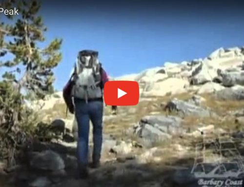
The trip is 12 miles, including a trek over rock blocks for the final summit ascent. The trailhead is at 7,650 feet at Barker Pass, where you hike the Pacific Crest Trail for five miles, then split off on the Tahoe Rim Trail to the foot of Twin Peaks.
Then comes the moment of truth: You leave the trail and clamber over rock blocks for a steep ascent of the final summit.
In the process you walk on pretty trails amid old-growth forest, past arrays of beauty from spring wildflowers and fresh-unrolled bracken ferns, and then get stunning views: down Blackwood Canyon, across Desolation Wilderness, and finally, on top, of Lake Tahoe to the east, and down the Rubicon River watershed to Hell Hole Reservoir to the west, and across miles of the Granite Chief Wilderness.
This is not a trip for everybody. In fact, it is a trip for the very few. Most would never rock climb to a high peak.
The cumulative gain in elevation, which includes making up a surprise (for first-timers) descent in the middle of the trek, is about 2,200 feet.
But I’d call it one of the more memorable adventures I’ve been on recently. It isn’t world-class, not on the radar of most. But the experience stands apart as special, every step of the way.
Synopsis: Trailhead 7,650 feet; 1.6 miles to saddle at 8,240 feet; drops 300 feet to headwaters of Blackwood Creek; climbs for 2.4 miles on switchbacks up through forest back up to ridge; at 5 miles, turn right on Tahoe Rim Trail, and walk a half mile to break in forest on left; leave trail and rock trek your way to summit at 8,878 feet. The first rule: Be safe.
Cost, permits: Free; for day-use no permits required.
Trail rules: No bikes, ATVs or any form of mechanization on Pacific Crest Trail or in any designated wilderness.
Dogs: Dogs allowed but do not take them off trail; only water on trail is at Blackwood Creek so carry extra canteen and water dish.
Mountain bikes, ATVs Yes: On left side of road as you approach parking and PCT Trailhead, directly across from parking is OHV road to network of Forest Service roads.
How to get there: Drive to Sacramento, then continue on I-80 east for 90 miles to Truckee and Exit 185 for Highway 89 South. Take that exit to a traffic circle, turn right, drive short distance to 89 South and continue 13.5 miles to Tahoe City. Turn right (still 89) and drive 4.3 miles and look for sign on right for Kaspian Campground, and just beyond, Barker Pass Road/Forest Road 3 (unsigned). Turn right and drive seven miles (paved, watch for road bikes) into national forest. When road turns to dirt, drive short distance to Barker Pass (Ellis Peak Trailhead on left) and continue a half mile to parking on right and signed trailhead for Pacific Crest Trail and Tahoe Rim Trail.
Feel great in the next 24 hours:
Hike. Bike. Camp. Fish. Boat. Wildlife watch. Explore.
The 20-picture photo gallery of my trip is at http://www.sfgate.com/outdoors.
For the new edition of California Camping, go to http://74.220.215.219/~tomstien/books/california-camping/


Leave A Comment